 |
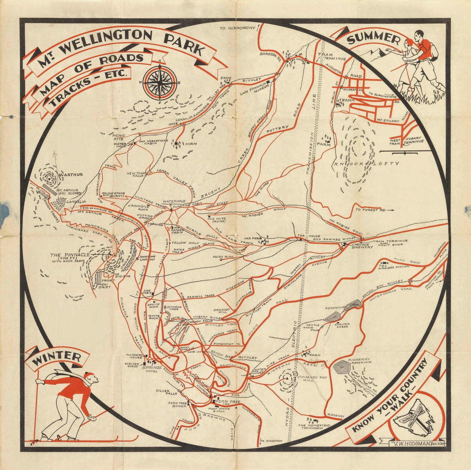
[Mt. Wellington Park Map by the Hobart Walking Club (VW Hodgman), 1935, Tasmanian Archive and Heritage Office] |
How well do we know our neighbourhoods? Perhaps we can rehearse
the names of adjacent streets and nearest intersections; or give directions to
the nearest shops or playgrounds. We might also be able to put names to the faces
of some of our neighbours; even repeat a few stories about one or two notable –
or notorious – neighbourhood characters.
But how far back does our knowledge go? Do we, for instance,
know what the neighbourhood was like 20, 50, 100 years ago? Even further back,
do we know how the land was used before it became city, town or suburb? And do
we know anything of past Aboriginal life in our area?
The new Cascade Track had proved a pleasant, gently uphill
morning’s walk. Our height gain was modest and our conversations barely disturbed
by the mild exertions. Still, we were glad to reach the top of the track, near
the end of Old Farm Rd, in time for some thermos coffee and Anzac biscuits. It
was comforting, familiar.
So too was wandering back to the junction of Inglewood Rd and
Strickland Avenue. There Tim and Sally would leave me, and Lynne would join me
for the next section of the walk. We were just a few bends in the road away from
home. Yet coming at my onward journey from this odd angle had me thinking about
it differently.
 |
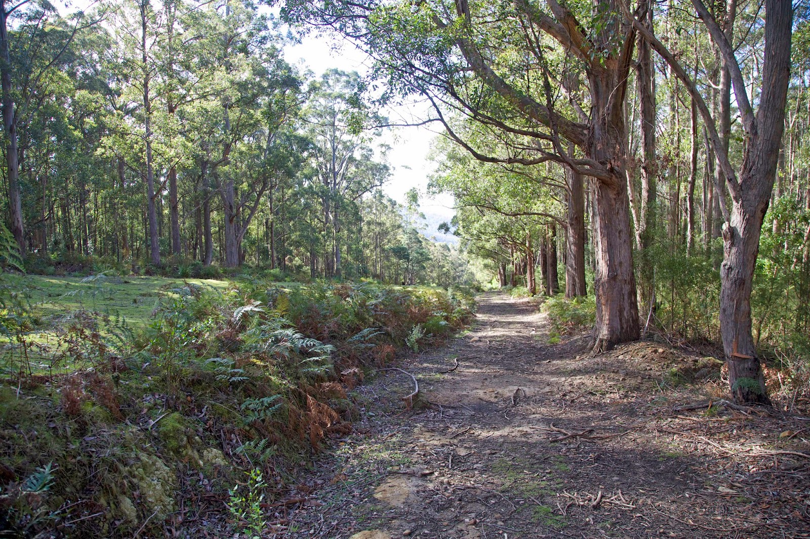
[On the Inglewood Fire Trail] |
Tim and Sally waved us away as we walked steeply up Inglewood
Road and onto the Inglewood Fire Trail. The track’s name should have been
enough to remind us of this area’s recent history. But it took coming across a
deep fenced-off water hole to get us thinking about the bushfires that ravaged our
neighbourhood during the massive 1967 fires. Bush dams like this are used as
supply points for the kind of “hand-to-hand” fire fighting that can happen in such
bush. It’s no mere nicety: 13 people died in our street alone in the ’67 fires.
 |
[Near the start of the Lower Sawmill Track] |
At the top of that fire trail we joined another fire trail. That
led us in turn to the Lower Sawmill Track, and to another encounter with
history. The Sawmill Track was probably constructed in the late 1910s/1920s as
part of the Cascade Sawmill operation. Logs were dragged down the mountain to the
mill and cut into boards, scantlings or fruit boxes. The mill may have been locally
known as Woodleigh's Sawmill, but on the 1935 Hobart Walking Club map (shown
above) it is simply marked as 'Sawdust Mill'.
Although it had stood only a few hundred metres up Strickland
Avenue from where Lynne and I had just departed, we had previously known
nothing about it. It had ceased operations by mid-century, and its remains were
probably consumed in the ’67 fire.
Walking on the Sawmill Track, a legacy of a now gone logging
industry, felt like a local encapsulation of Tasmanian history. Only the slight
cupping of the track hinted at the thousands of dragged logs that must have
helped shape it. The now thickly-forested bush has recovered well from both
logging and bushfires. We found it pleasant and green, soft underfoot, quietly
grand. That was just as well, because it was now clear that the real climbing
had begun.
 |
[One that got away? A fallen log on the Sawmill Track.] |
We stumbled ever more steeply upwards, and yet our lunchtime
goal, Sphinx Rock, seemed unwilling to appear. The slope steepened, rock talus became
more frequent. Surely, the earth scientist inside me reasoned, the prominent
sandstone formation would loom out of the bush at any moment. It didn’t.
Instead it was the cheerfully loud voices of our grandchildren atop Sphinx Rock that eventually
told us we were (literally) within coo-ee of our lunchtime rendezvous with
Sally, James and family.
 |
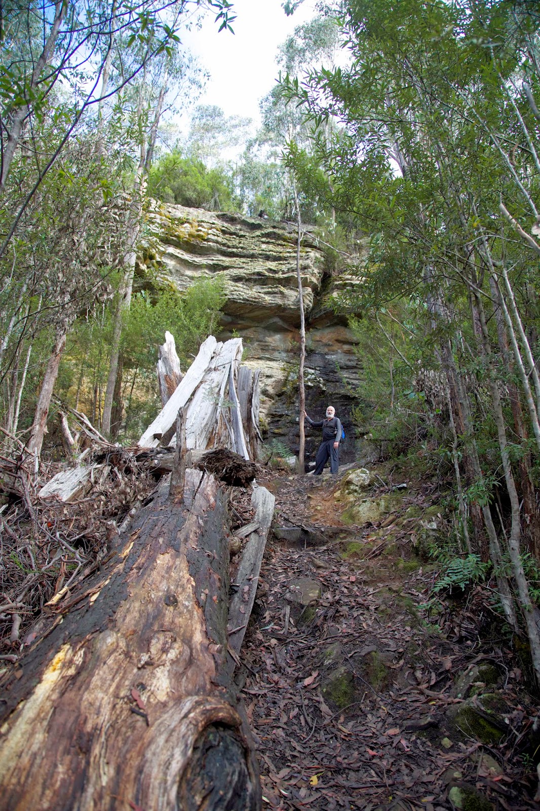
[Approaching Sphinx Rock on the Sawmill Track] |
As we clambered up the very steep track – possibly an old
snigging track – I recalled reading that Sphinx Rock itself may once have had a
sawmill near the top of it. I know I far preferred finding my family picnicking at the lookout.
Not all progress is bad.
No comments:
Post a Comment